Mapping and surveys
Drone mapping and surveys. We are partnered with registered land surveyors to provide a full service. Our data will be efficient and accurate. Contact us today to see how we can assist you with your survey needs.
DJI M600

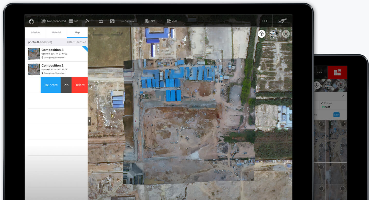
Mapping Software

DJI M300
