

Our Services
From survey-grade mapping to industrial inspections and broadcast-quality aerial media — every mission flown by SACAA-licensed pilots, fully insured, and delivered as structured, actionable data.
Core Data Services
Precision aerial data capture and processing for engineering, construction, mining and agriculture.
Mapping & Surveys
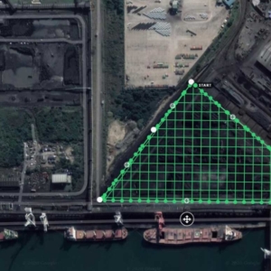
Orthomosaics, DTM/DSM, contours and volumetric reports — survey-grade accuracy in collaboration with registered land surveyors.
Drone Inspections
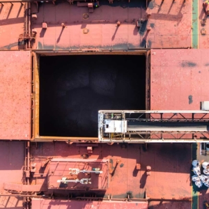
RGB and zoom inspections of industrial assets — safe, non-invasive and delivered with annotated, GPS-tagged reports.
Thermal Imaging
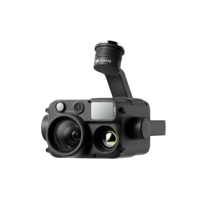
Radiometric thermal surveys that reveal hotspots, electrical faults and heat loss invisible to the naked eye.
LiDAR Point Clouds
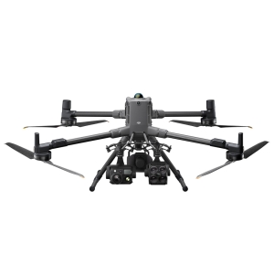
Zenmuse L3 LiDAR on the Matrice 400 — dense, centimetre-accurate point clouds, even through vegetation.
Industry Solutions
Specialist inspection programmes tailored to your sector’s assets, standards and reporting needs.
Solar Farm Inspections

Panel-level thermal fault detection across utility-scale PV plants — failed cells, string outages and soiling.
Wind Turbine Inspections

Blade, nacelle and tower inspections at zoom detail — no rope teams, no downtime.
Oil & Gas
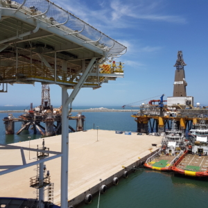
Flare stacks, tank farms and refinery infrastructure inspected live, while the plant keeps running.
Maritime & Ports
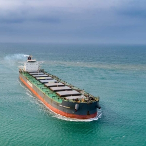
Hull surveys, vessel inspections and port infrastructure — approved to operate in South African ports.
Media & Broadcast
Award-winning aerial cinematography for film, television and advertising — flown by dual-operator crews.
Production & Film

Feature films, TV commercials and documentaries with dual-operator pilot and camera crews.
Commercial Media
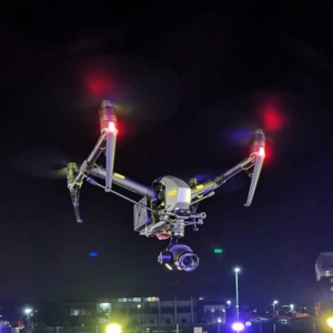
Aerial photography and video for marketing — from social campaigns to billboard-resolution stills.
Aerial Live Streaming
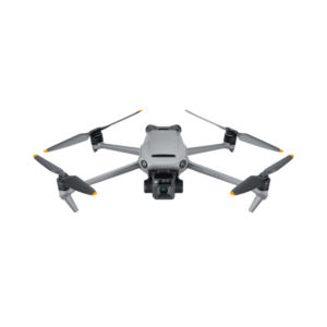
Real-time aerial feeds with telemetry, streamed live to any location worldwide.
360° & Stock Footage
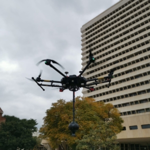
High-resolution 360° aerial imagery and 6K RAW stock footage available for licensing.
Not sure which service fits your project? Tell us what you need — we’ll recommend the right platform, payload and deliverables.