

Drone Mapping & Aerial Surveys
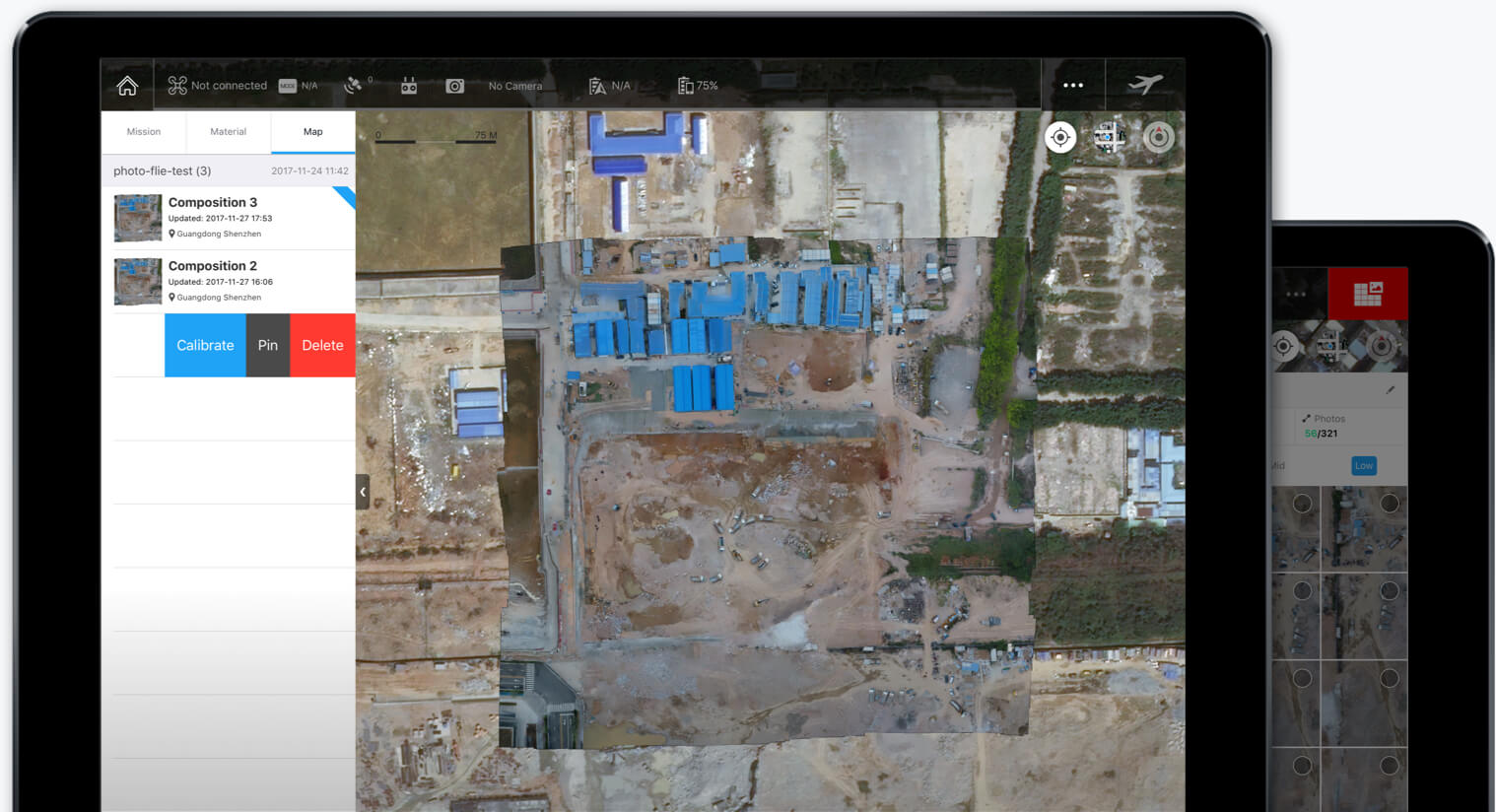
Survey-grade aerial data, flown with RTK drones and processed in collaboration with registered land surveyors. Using the DJI Matrice 400 with Zenmuse L3 LiDAR and the full-frame P1 photogrammetry camera, we capture centimetre-accurate data over sites of any size — from a single stand to entire catchments — faster and safer than conventional ground survey.
Every project is delivered in your coordinate system with a full accuracy report, and can be verified against ground control points for engineering-grade confidence.
Deliverables
Orthomosaics & Plans
High-resolution georeferenced orthophoto maps and site plans — ideal for construction progress, town planning and asset management.
3D Models & Point Clouds
LiDAR and photogrammetry point clouds, textured 3D meshes, DTM/DSM surfaces and contour lines — ready for CAD, GIS and BIM workflows.
Volumetrics & Contours
Accurate stockpile volumes, cut/fill calculations and topographic contours for mines, quarries and earthworks — repeatable month after month.
Where We Survey
Construction & Earthworks
Baseline surveys, progress tracking and as-built verification — keep every stakeholder working off current, accurate data.
Mining & Quarries
Monthly stockpile volumetrics, pit surveys and haul-road monitoring without stopping production or putting surveyors at risk.
Agriculture & Environment
NDVI crop health mapping, terrain analysis, erosion and flood-risk assessment across farms and catchments.
SACAA-licensed and fully insured — approved for controlled airspace, night operations and BVLOS up to 3.5 km.
In the Field
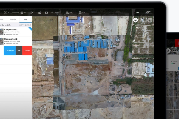
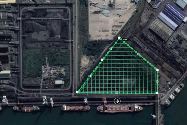

From single stands to entire coastlines — mapped to survey-grade accuracy. From JSE-listed companies to global broadcasters — see who we fly for.
Case Studies
Empowering Road Construction in South Korea with Zenmuse L2 LiDAR — via DJI Enterprise
Next Generation Mapping: Saving Time in Construction Surveying with Drones — via DJI Enterprise